Paul Andrews, Bike Intelligencer
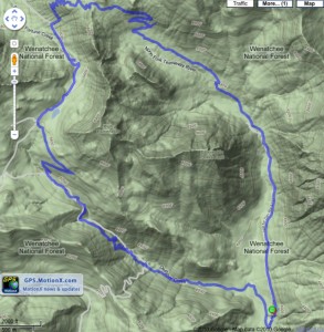
We’ve been riding in the mountains on remote mountain-biking expeditions for two decades, wishing we had a way to track our routes. Our Suunto Vector “wristop” (watch) with an altimeter and compass met the “good enough” test for years. But now, with GPS and map software merging with smart-phone ubiquity, it’s a whole new world out there. And with the forthcoming HTML 5 standard offering built-in location services, it’s about to get even better.
At any point on the mountain, you’re able to Twitter or Facebook or text your friends, providing your exact location pegged to an online map. This is assuming cell service, which can be a big if. But even that is expanding every year…
